

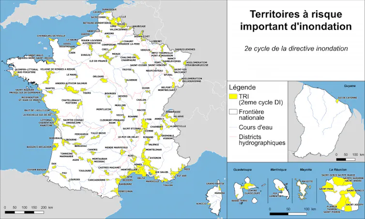
In metropolitan France, two-thirds of the 36,000 municipalities are exposed to a natural hazard. One in four people and one in three jobs are potentially at risk from flooding, whose human and economic consequences make it the most significant risk at the national level. In this context, the historically existing risk, coupled with ongoing climate change, raises questions about both mitigation and adaptation efforts at the regional level.
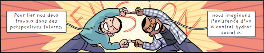
In this context, we conducted two complementary doctoral theses, one in hydroclimatology and the other in economics, focusing on flooding in the Grenoble metropolitan area (Université Grenoble Alpes, IGE/PACTE). The first thesis examines trends in extreme precipitation in the French Northern Alps since 1950 and projections through 2100. The second thesis explores the challenges of climate change adaptation in a region with a strong industrial presence.
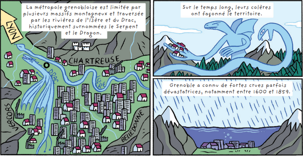
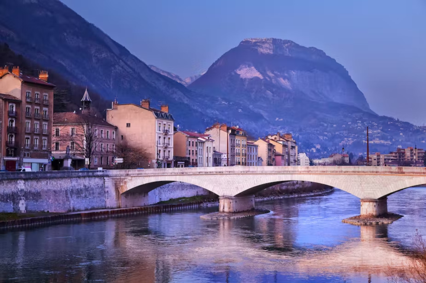
The Grenoble plain faces a unique flood risk: it is crossed by two major rivers—the Isère and the Drac—both of which drain a large region of the French Northern Alps, and is home to about 100 mountain streams flowing down from the Vercors, Chartreuse, and Belledonne mountain ranges.
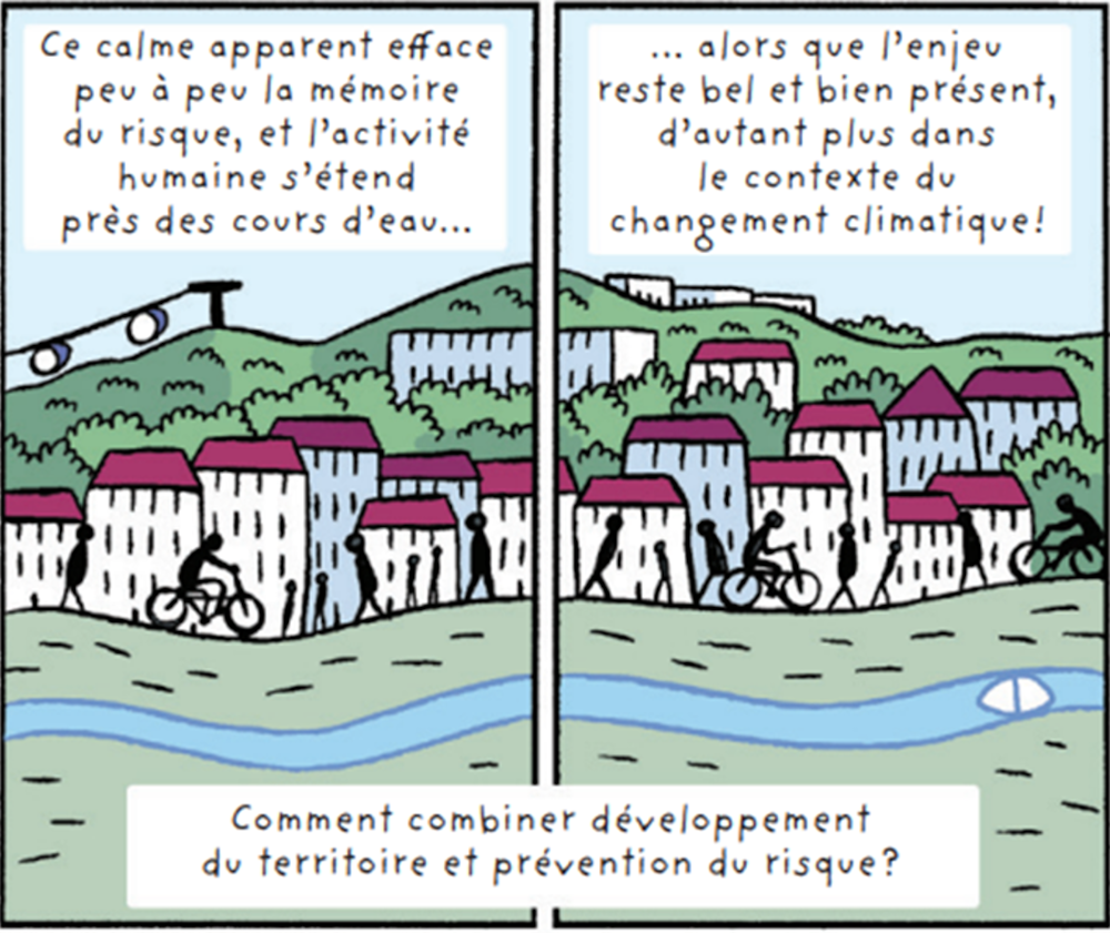
Throughout its history, this plain has experienced several devastating events. The issue of flooding has been a key factor in the development decisions of the time and in how the plain has been urbanized. Since themid-19th century, there have been no river floods of exceptional magnitude. At the same time, major projects involving levees, culverts, and safety measures have been carried out (160 km of levees today). The danger now is that, over the years, the culture and memory of this risk will fade away.
While local stakeholders are well aware of and understand the current temperature trends, trends in extreme precipitation and flooding in the context of climate change are much more uncertain, particularly in the French Northern Alps, which lie at the crossroads of Atlantic and Mediterranean climatic influences.

To stay up to date on environmental issues, check out our weekly themed newsletter, “Ici la Terre,” every Thursday. Each issue features a mini-report, a selection of our most recent articles, excerpts from books, and content from our international network. Subscribe today.
Our research has shown an increase in extreme precipitation (rain and snow) since 1950 in the Drac watersheds in Grenoble and in the Arc watershed (Maurienne Valley). In these regions, where extreme events are primarily driven by air masses originating in the Mediterranean, the level of precipitation that occurred on average once every ten years in 1950 is now reached on average once every three years.
Although such increases do not appear to be observed north of the Alps, the shift of the rain-snow line to higher elevations is contributing to the increase in extreme rainfall. The level of rainfall that occurred on average once every ten years in 1950 is now reached on average once every three years in the spring in the Isère River watershed in Grenoble. As a result, the Isère River in Grenoble has experienced several once-in-a-decade floods in the spring over the past 20 years, in 2001, 2010, and 2015.
We also studied the torrents in the Grenoble metropolitan area using a database of historical events documenting the major flood episodes in the metropolitan area since 1850. We have observed an increase in the frequency of damaging torrential floods within the metropolitan area. This trend can be explained by several factors, including climate change, as well as increased exposure of infrastructure due to the urbanization of the hillsides and the plain, and the growing ability to record such events.
In this context, the region’s economic future is shaped by three factors: climate change and its local impacts, the future of the existing local industrial ecosystem, and its development prospects, which are reflected in local strategies (local urban development plan, energy master plan, economic and attractiveness strategy, etc.).
The Grenoble Metropolitan Area is home to 220,000 jobs and comprises six industrial sectors, with a strong presence in microelectronics and energy. In a region where water flows throughout the entire metropolitan area, adapting the industrial ecosystem requires a systemic approach that goes beyond flood-prone areas and explores the interdependencies among economic stakeholders.
This spatial approach is coupled with a temporal process of making industrial policies more flexible to account for the geophysical realities of the region. In fact, 50% of the population and jobs within the Grenoble-Voiron TRI area are reportedly at risk of flooding.
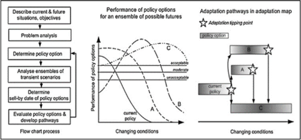
Viable and effective adaptation requires interventions that are grounded in local realities. To achieve this, we combine scientific literature and regional analysis with a study of “micro-scenarios” that involve flood risks and the presence of economic and industrial interests. We therefore examined three micro-scenarios to draw conclusions that can inform local decision-making:
The Verderet, a channeled and culverted torrent downstream from the city of Grenoble, which—despite a long history of safety measures—remains a source of flash flood hazards with short response times.
Athanor, a waste treatment and incineration facility that is critical to the region’s daily life and its energy transition, and which is at risk of flooding from the Isère River.
The Presqu’île Scientifique: the confluence of the Isère and Drac rivers and a strategic hub for scientific and technological research and critical infrastructure networks.
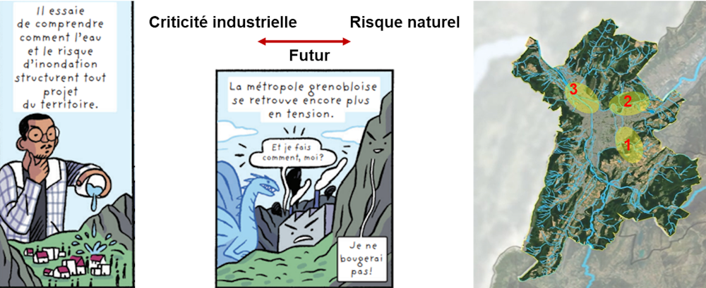
An analysis of the sites reveals a variety of results. The case of Le Verderet highlights the difference between the hydraulic challenges associated with large rivers (the Isère and Drac) and those associated with torrents: despite a “gray” approach to safety measures, the risk remains, calling for adaptive solutions rather than merely remedial ones.
The Athanor case study illustrates the degree of interdependence between strategic facilities and regional ambitions, leading to critical spatial constraints.
Finally, the Presqu’île invites us to reconsider the priorities for the area, balancing the need for economic development with the need to reduce vulnerability to risk.
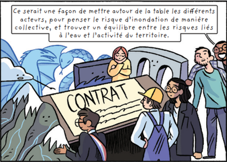
The insights gained from these micro-scenarios and the observed climate trends are useful for developing viable and sustainable adaptation strategies within the Grenoble Metropolitan Area.
Antoine Blanc, author of a dissertation in hydroclimatology, contributed to this article. The book *Réveil climatique* is available for free online.